OSM Dashboard Enhancements.
Precise path segmentation that plots OpenTracks GPX points (lat-lon + altitude) on live OSM/Mapsforge maps. Integrated and refactored work from six teams into a single conflict-free release.
OSM Dashboard is the official OpenStreetMap companion for OpenTracks (a libre activity tracker on F-Droid). For COMP-354 in Winter 2024, I led a class-wide collaboration of around 150 students that contributed enhancements upstream.
My work focused on path segmentation — correctly plotting per-second GPX altitude/coordinate samples on top of Mapsforge's offline tile renderer, including coloring by speed and stitching paths across track gaps where signal had dropped.
The bigger challenge wasn't the code — it was integrating six separate teams' branches into a single conflict-free release. A lot of the role was deciding what to merge, what to send back for revisions, and how to keep ~150 contributors moving forward without trampling each other's work.
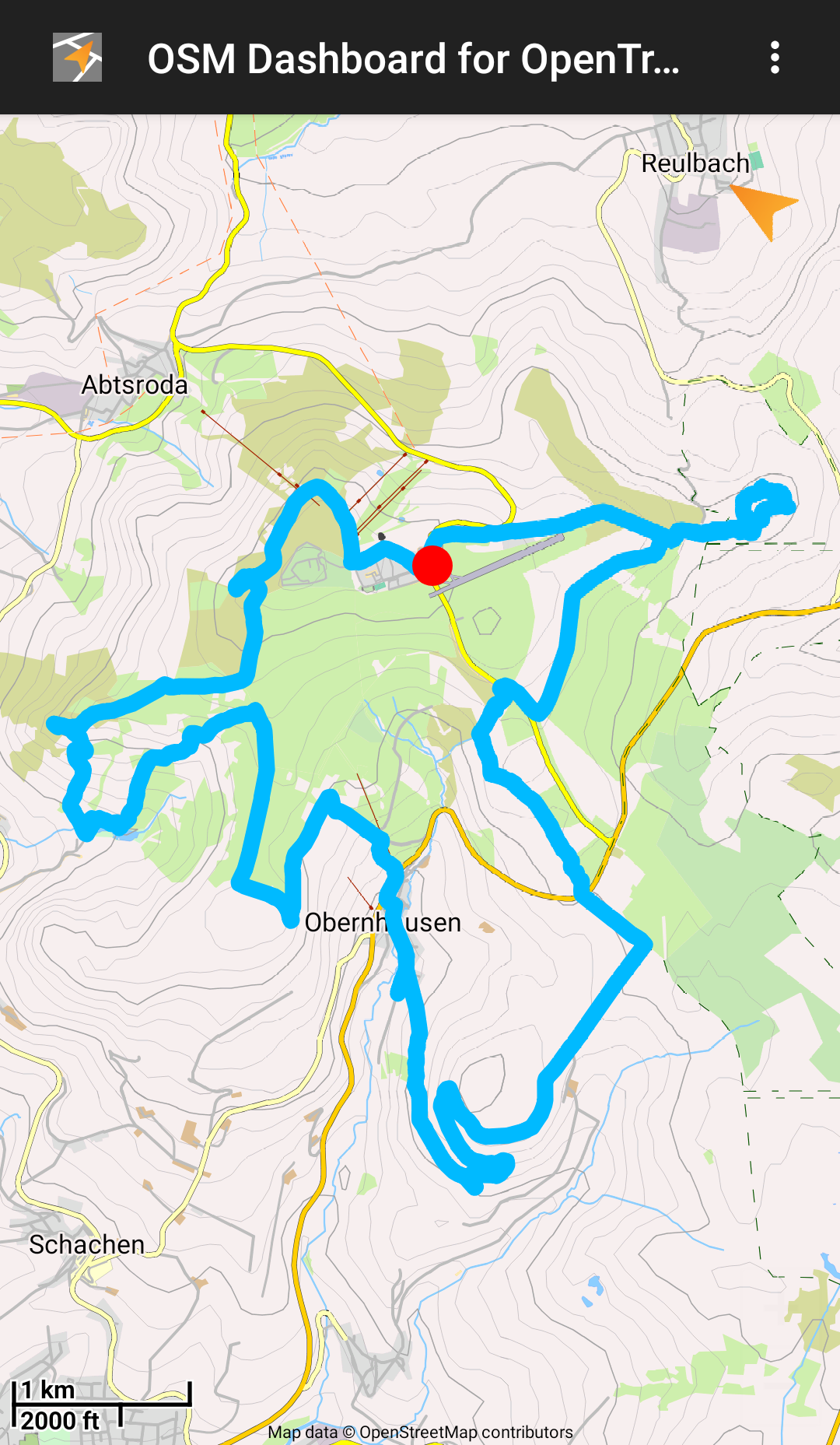
Single recorded track plotted on an offline OSM tile. 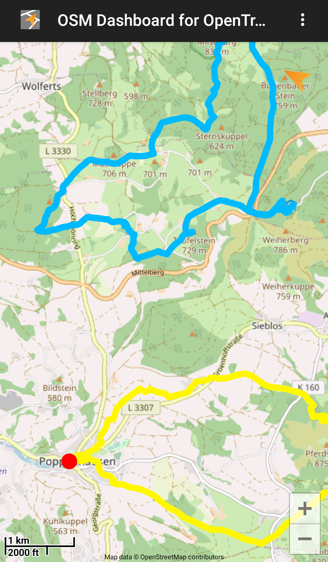
Multiple tracks shown together with per-track coloring. 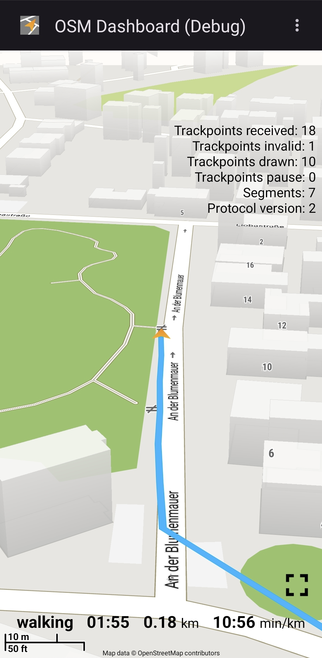
Tilted 3-D view of a recorded track over Mapsforge tiles.